Walking and hiking tours
Difficulty: medium
Schatzberg-Joelspitz-Auffach
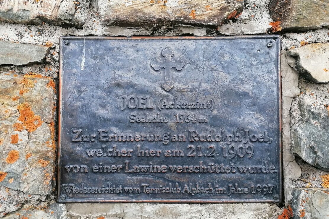
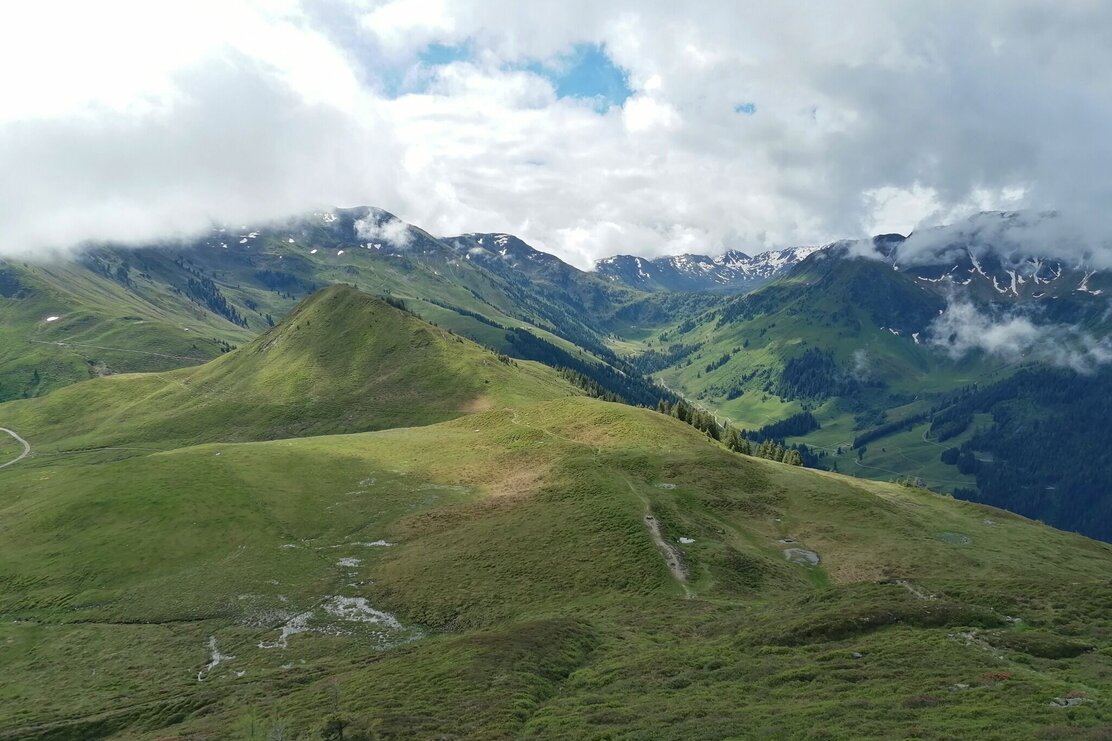
Schatzberg, Gern Alm reservoir, Joelspitze, Saupanzen, Neuhöger Alm, Klettinger Alm, Starchent Alm, Auffach
Length
13.6 km
Duration
5:00 h
Altitude
401 hm
1307 hm
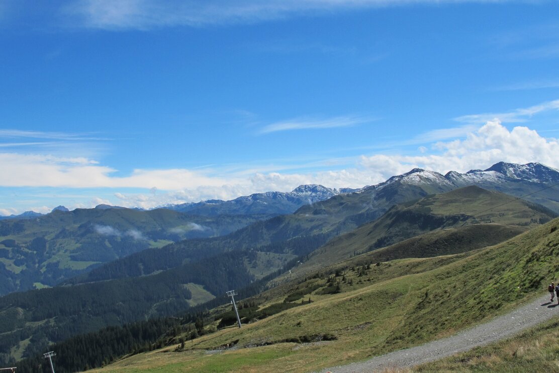
Start at the Schazberg lift and take the cable car to the top. After exiting the lift continue to the Schatzberg peak. Walk down to the reservoir near the Gern and from there up to the Joelspitze. Alms on the route are the Neuhöger Alm - Klettinger Alm - Starchent Alm before you return to Auffach.
For an easier descent take the Schatzberg cable car back to the valley.
Start on mountain
Round trip
Rest stop
Details
| Max. Altitude | 1957 |
| Start | Bergstation Schatzbergbahn |
| End | Talstation Schatzbergbahn |
| Public access | mit dem Bus oder Bummelbahn: Aussti |

There's more!
