Walking and hiking tours
Difficulty: difficult
Schönangeralm-Sonnjoch
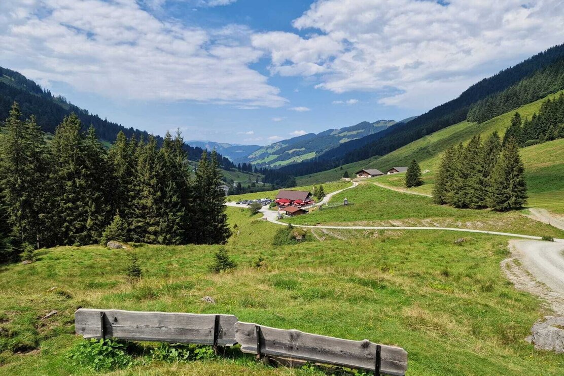
From the Schönanger Alm via the Kastensteig and Gressenstein Alm to the Sonnjoch Mountain
Length
18 km
Duration
8:00 h
Altitude
1120 hm
1110 hm
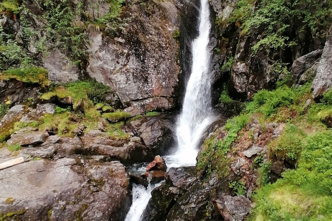
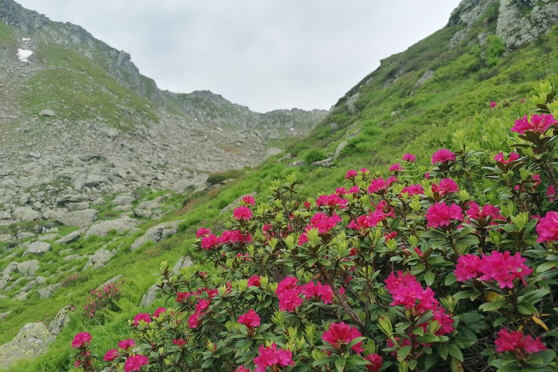
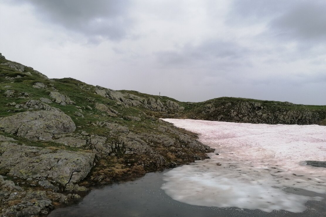
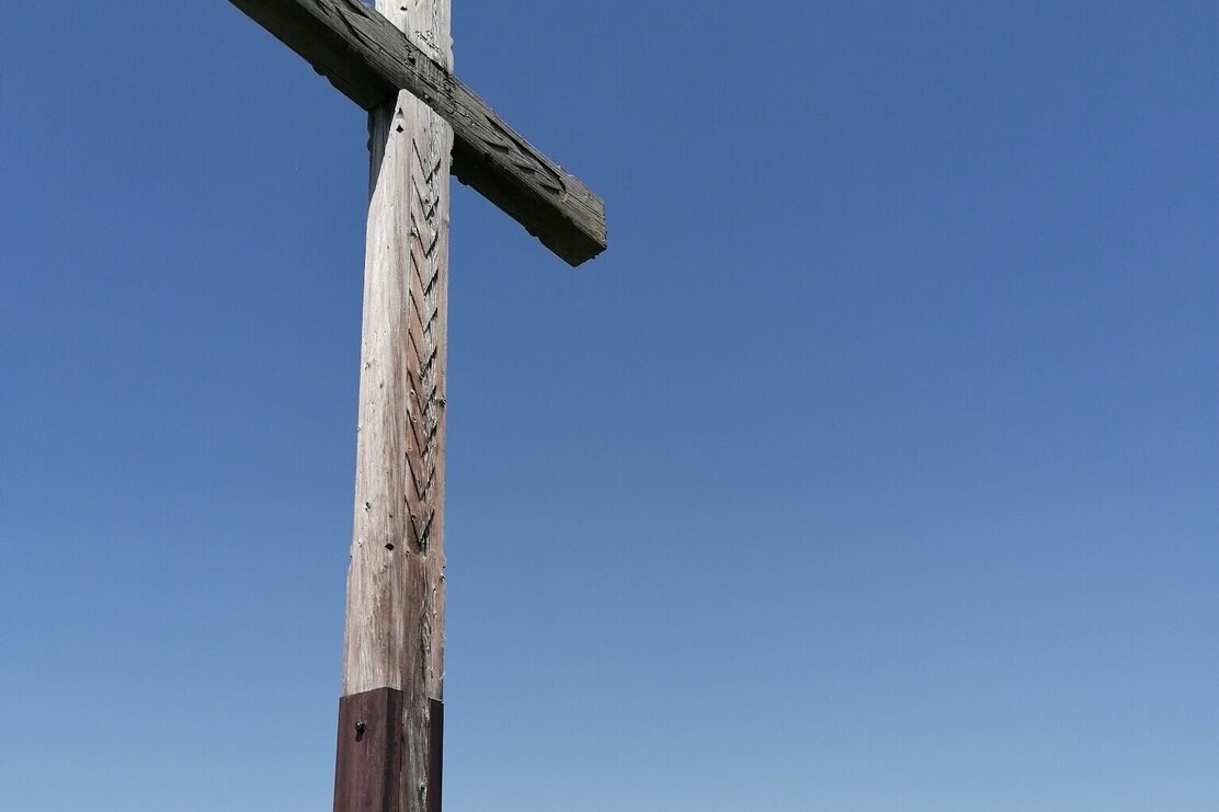
Start at Schönanger Alm past the Kundl Alm and Kastensteig to the waterfall and Gressenstein Alm. At the crossroads Grosser Beil take the left fork on route 6 along the stream. After approx. 400 m cross the stream and continue on to a small pond. Take the lefthand steep ascent to the summit. Return on the same path.
Rest stop
Details
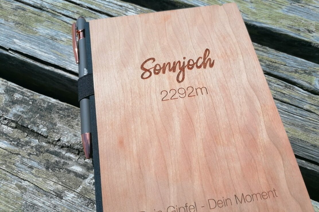
| Max. Altitude | 2292 |
| Start | Schönangeralm-Auffach |
| End | Sonnjoch |
| Public access | Bummelbahn to Schönanger Alm |

Tips for you
Good to know
There's more!
